Graffiquo provides a photo-realistic 3D Georeferenced Platform to support governments and corporates in their development activities, especially in the infrastructure and building sector.
Our Background
Launched in 2019, Graffiquo is a GIS software solutions provider servicing industries that include smart city development, environmental impact and assessment, and energy and communications infrastructure asset inspection.
Our objective is to integrate 3D modelling and visualisation into the GIS, thus enhancing its 3D capabilities.
Through our Visual Intelligence Centre (VIC) and partners, we simplify the viewing process, managing and analysing of complex information, to produce a photo-realistic 3D georeferenced wide area mapping that can be accessed on any device, anytime, anywhere.
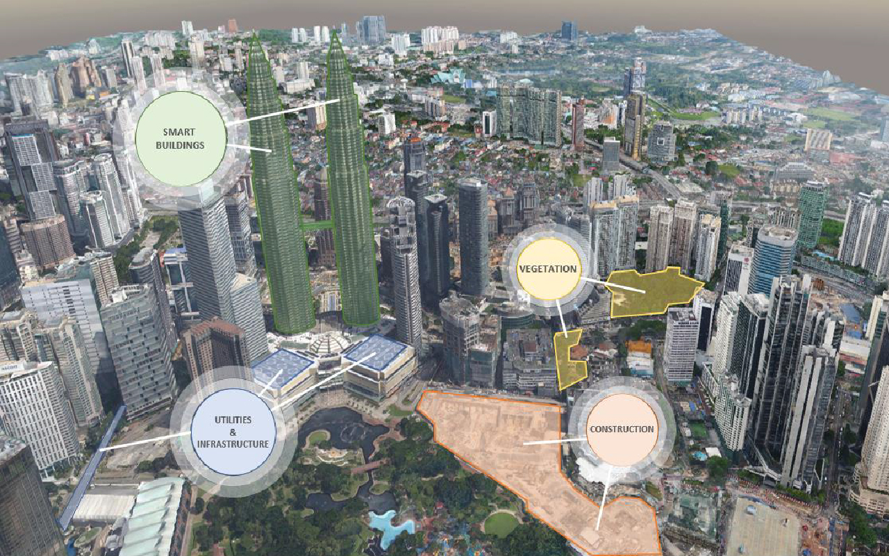
Visual Intelligence Center (VIC)
A platform to combine data from different departments, organisations and agencies to visualise in 3D business applications.
Our technology captures real-time representation of land, assets and objects with precision, down to the centimetre. We can help you to capture changes over time, providing a visual audit history.
VIC is widely used for technical and business applications using IoT sensors, from security CCTVs , Heating, Ventilation, and air conditioning (HVAC), to wayfinding systems.