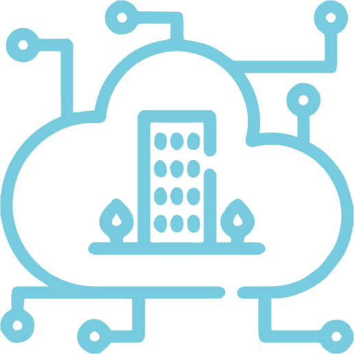
Digital Twin is a digital replica of a city, a virtual model of its roads, buildings and public spaces combined with real-time information feeds from sensors and other data sources.
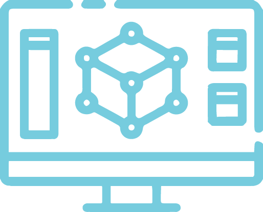
Build
Give your data more depth. Create your data exactly as it was made or develop your vision.
Analyse
Take advantage of the value in your raw data to solve issues and grasp the larger picture.
Visualise
To spot patterns, trends and hidden linkages, use 3D models and data visualisations.
Collaborate
Share your work in 3D and thoughts with others.
Graffiquo In Action
Graffiquo’s vision is to be an advocate and aggregator for open and shareable 3D geo-referenced data across multiple platforms and formats. We provide visual management presence for quality decision making.
We simplify viewing, populating, customising, and analysing geo-referenced data in a photo realistic 3D platform.
How can you use 3D?
Add dimension to your data. Create the as-built environment or conceptualise your vision.
Within our 3D Virtual Platform, we can now integrate with smart cities, city councils, industry verticals, specific apps, simulation apps, artificial intelligence apps, and academia. We also correlate with implementation services, consulting partners, IOT devices and sensors.
First Step: 3D Data Capturing
Data capture uses the science and technology of obtaining reliable information about physical objects and the environment through the process of recording, measuring, and interpreting photographic images or patterns of electromagnetic radiant imagery like LIDAR.
We are able to use LIDAR capturing. However, our data capture is mainly focused on imaging. Our technology captures real-time representation of land, assets and objects with precision, down to the centimetre. Capturing changes over time based on time of capture will provide a reliable visual audit history.
Second Step: Image Interpretation
Using the information from the data acquired, we interpret the photographic images. This process is done internally and the processing time depends on the size of the data capture. The data is processed using digital elevation modelling, resulting in high quality 3D models where we do post-processing and retexturing.
Last Step: Publish Digital Models
Lastly, with the 3D models shaped from the data capture, the digital models can be published into servers, which can be accessed through the Graffiquo Platform. In addition, you are able to tag, store or link data within the Graffiquo platform.
What can we do for you?
Feel free to ask us any questions and we’re here for you.