

Precise geographic context, helping users accurately track and analyze data based on location.
Instantly synchronizing field-collected data with central databases for up-to-date information collected.
Allows for the immediate submission of data directly from the field, ensuring timely and accurate updates.
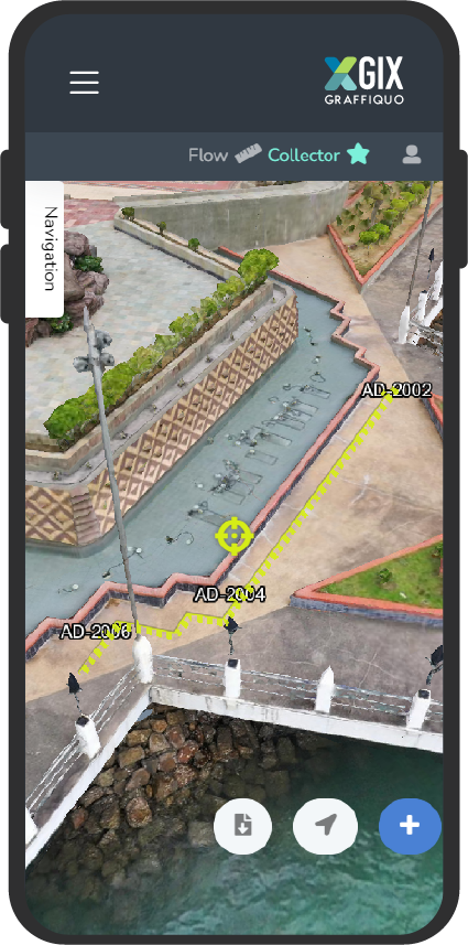
Integrating 3D models with collected data for a more comprehensive and visual understanding of the field environment.
Integrate field-collected data with 3D models, providing a comprehensive and detailed view of the environment.
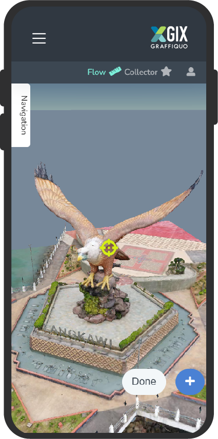
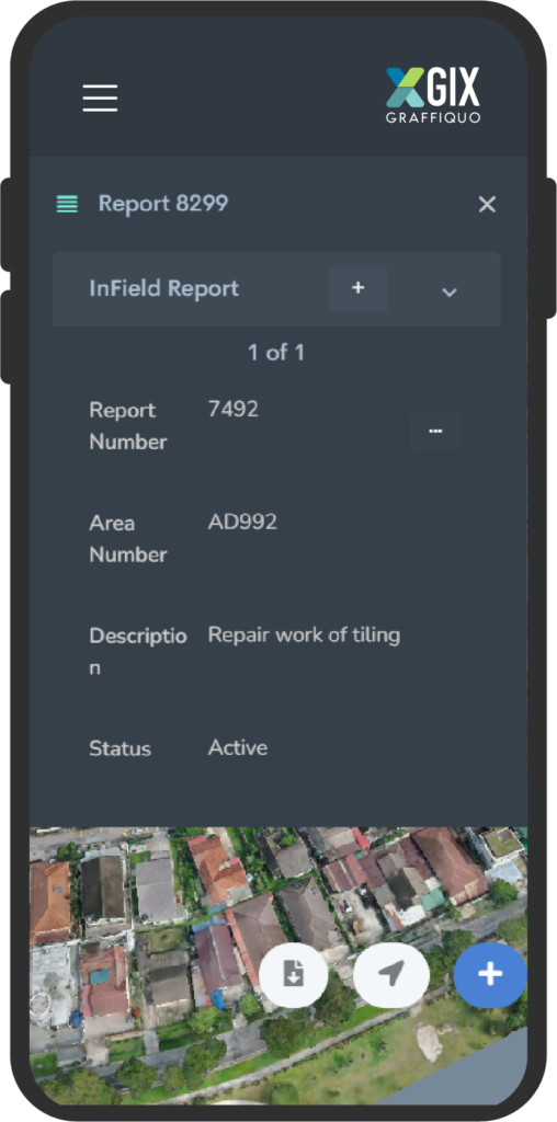
Field operators can use mobile devices to capture and upload data in real time, which is then instantly available to central databases and decision-makers.
Instant synchronization to access to the latest information in dynamic environments where conditions can change rapidly, such as in emergency response situations.
Graffiquo has been invited to participate in many professional Visual Intelligence exhibitions across Southeast Asia.
These exhibitions are an opportunity to showcase our advanced Visual intelligence and data software.
Graffiquo was named the Winner of the Gamechangers Award in 2020. The Gamechangers Award officially recognises ground-breaking innovations in major cities across the globe.
Graffiquo garnered the New Innovation Champion Award in 2021. This invite-only competition highlighted innovative startups within the ASEAN region.

Graffiquo has also led the United Nations Smart Sustainable Cities (U4SSC) programme in the Southeast Asian and ASEAN cities.
